

my camp on Anthony Creek


the last crossing

another crossing

the first creek crossing on Eagle Creek
 Wed, 16 Sept. Got up this morning and decided to get my gear/food together and head to the Smokies for a 4 day backpack trip. I felt the need to be walking in the mountains, and bonus–the forecast called for clear skies, highs in the low 70s and lows in the mid 50s. Perfect Fall weather. Plus I have made a lot of changes to my gear this year after a 500+ mile section on the AT in June–so this would be the perfect time to try out my new gear and systems. Shake out the bugs and all that. Two edged sword–changes to gear made getting my gear together a much longer process than I had anticipated. With backpacking, everything goes in a place. This is important. Since I changed to a new backpack, nothing had a place anymore, so I had to organize. I finally got on the road at 1:15.
After some delays because of the new backcountry permit system, I started hiking from Fontana Dam at 4:10. I planned to go to Birch Spring Gap, about 5 miles, so no problem. About a mile in to the hike I realized I left the new batteries for my headlamp in the car, so I turned around. Was leaving Fontana Dam again at 5:00. Still, no problem. Just a late supper. About a mile in it started to drizzle. I put on rain gear. Saw a couple of bears. No worries. About 3 miles in, there was lightning and thunder and more rain. No worries. I was sheltered in the trees and have good rain gear. As I arrived at Birch Spring Gap, the rain really picked up, and it was getting dark. I got to put up my tent in the rain, in the dark. Not all that much fun, but it goes with the territory. By the time I got into my tent, got my wet clothes hanging from the 18 inch clothesline at the top of tent, it was 8:00. For the first time ever, I opted not to cook supper, but just eat a couple of Pro Bars. I hung up my food so the bears (or other critters) wouldn’t get it, and crawled into the sack. I read for a couple of hours and went to sleep. Around 3:15 a coyote quite near my tent started barking. Of course I woke up startled. I could hear a distant coyote howling a reply. The two kept it up for about 5 minutes. Made me realize how little I know about coyotes.
Wed 17 Sept. Stopped at Russell Field Shelter on the AT at 1:40 and decided it was time to eat the supper I skipped last night. It was getting cool and I was starving. There was a warning sign posted at the shelter, warning against bear activity. I would see this sign posted at all shelters and campsites. An ominous sign, with reference to grave injury and death.
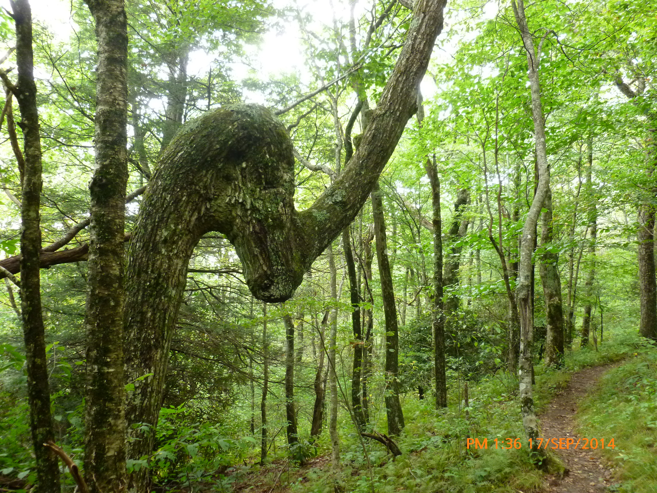
Walked through some oak woods. Lots of acorns, and plenty are dropping. Each falling acorn in my earshot requires a glance in that direction to confirm it isn’t some critter. Then walked through some maple woods. Many of the leaves are already a deep red. Beautiful. Camped along Anthony Creek, near Cades Cove. No one else there, again. More signs.
Thurs 18 Sept. Slept until 8:15! As I was packing up, I found that a rascally rodent had lunched on the cork grip of one of my trekking poles. I was bummed because I like the poles and have a lot of miles on them. I guess it is a good way to get salt if you are a rascally rodent. It was a long climb from my campsite back up to the AT. On the way I ran into a couple of trail maintainers from the Smoky Mountain Hiking Club. Without volunteers, we would have many trails. They were both in their sixties, at least. Each carrying a pack and a scythe. Pretty impressive. I talked with them for a while, offered to carry the scythes, then moved up the mountain.
I hiked over to Spence Field Shelter. It is closed now because of ‘bear activity’. But it has a nice spring behind it and I needed water. The spring behind the shelter starts a stream that eventually becomes Eagle Creek. There is a rough trail that follows that flow down, and then parallels Eagle Creek all the way to the north side of Fontana Lake. I decided to take that route. It was slick and steep at first, but eventually opened into a great trail. With tributaries feeding into Eagle Creek, it grew to be a large, fast flowing creek. I would soon learn that the trail crosses the creek about 13-15 times during the 9 mile descent. The very last crossing had a bridge. All the rest involved hopscotching across rocks, or taking off my boots and walking across in my camp shoes. Then putting my boots back on… I took pictures of many of the crossings, but I lost count of the number. The trail is very beautiful and seems to get very little traffic (or maintenance).
When I got down to the north side of the lake, I was able to check my email. I decided to cut my trip short by one night so I could hike on Linville Gorge with some friends on Saturday. I’ve wanted to hike the gorge for a while, so I couldn’t pass this up. So, at 4:30, I had 6 miles to go to get to my car. No problem.
Great trip. I hope to get one more trip in before snow hits the Smokies.
